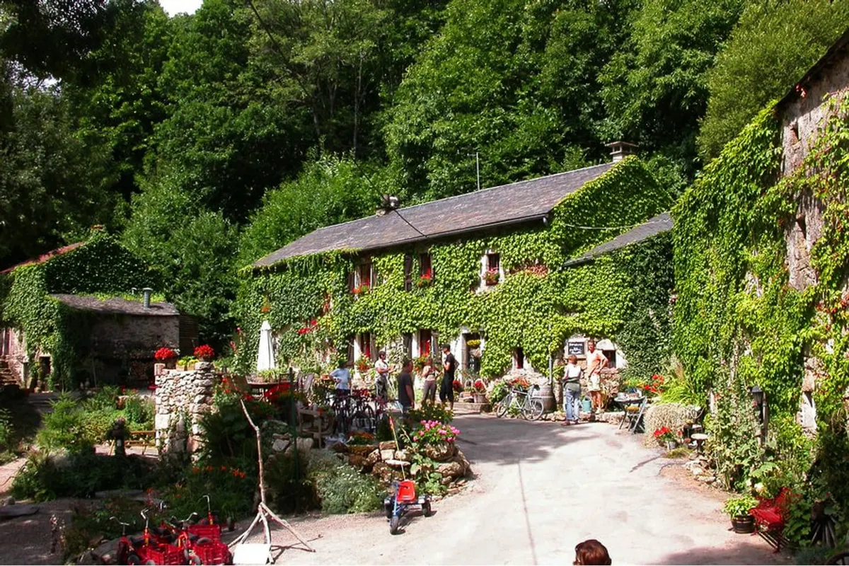
Le Peyral
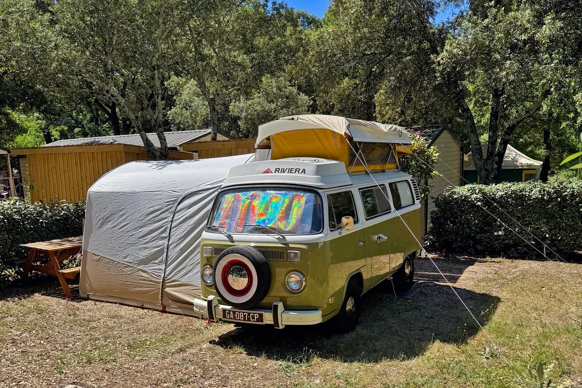
Le Peyral is a campsite in the Hérault region (France). The site is suitable for a caravan and a tent.
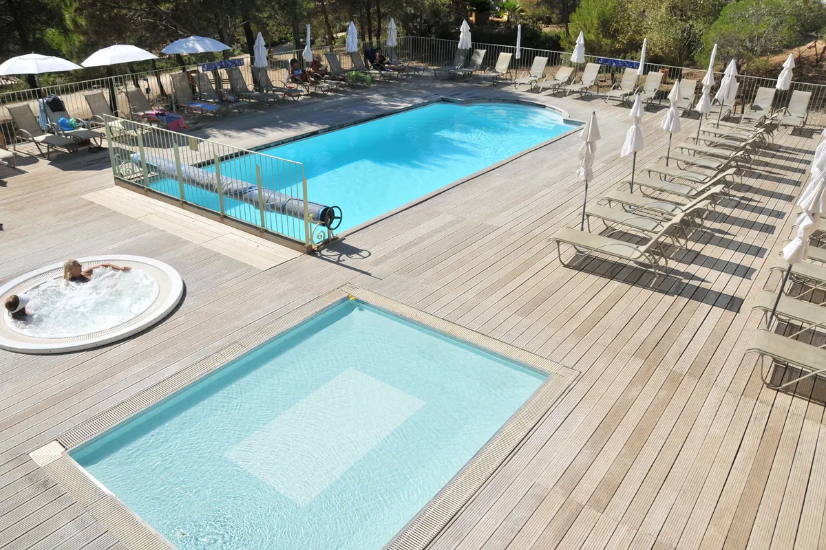
- Swimming pool
- Wi-Fi
- Family friendly
- Dogs allowed
About Le Peyral
GEOAt Le Peyral you'll find a swimming pool, facilities for children, Wi-Fi and space for dogs, among others.
✓ Why here
- Swimming pool
- Family friendly
- Dogs allowed
- Wi-Fi
Amenities
- ✓Swimming pool
- ✓Wi-Fi
- ✓Family friendly
- ✓Dogs allowed
Accommodation & pitches
Caravan
Tent
Is this your campsite? Claim your campsite here.
Prices & availability
Is this your campsite? Claim your campsite here.
Location & getting there
See the campsite's exact location on the map.
Attractions nearby
Amenities nearby
≤5 kmAmenities within ~5 km, straight-line.
Reviews
109 ratings across 2 sources.
Weather & climate
Practical information
Contact & website
Frequently asked questions
FAQWhere is Le Peyral located?+
Le Peyral is located in La Salvetat-sur-Agout, Hérault (France). You can see the exact location on the map on this page.
Does Le Peyral have a swimming pool?+
Yes, Le Peyral has a swimming pool.
Is Le Peyral suitable for children?+
Yes, Le Peyral is family-friendly with facilities for families. There's a playground 2.4 km away.
Are dogs allowed at Le Peyral?+
Yes, dogs are welcome at Le Peyral.
What facilities does Le Peyral have?+
Le Peyral offers a swimming pool, Wi-Fi, kids' activities and dogs allowed, among others. See the full list in the amenities block on this page.