Camping municipal des Millières
Choranche, Isère, France
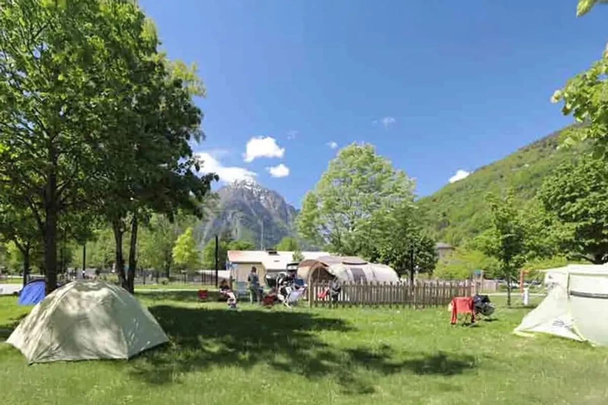
You'll find Camping municipal des Millières in the Isère region of France. Camping municipal des Millières has space for a tent.
- Dogs allowed
About Camping municipal des Millières
GEOAt Camping municipal des Millières you'll find space for dogs, among others.
✓ Why here
- Dogs allowed
Amenities
Sanitary & basics
- Hot showers
- Drinking water
On site
- Pets welcome
Pitches, accommodation & prices
Pitch types & starting prices
- Tent?
Indicative prices. Final price and availability are shown at the provider.
Is this your campsite? Claim your campsite here.
Location & getting there
See the exact location on the map.
Attractions nearby
Amenities nearby
≤5 kmAmenities within ~5 km, straight-line.
Reviews
86 ratings across 1 source.
Weather & climate
Good to know
- Accommodation types
- Tent pitch
- Pets
- Welcome
Contact & Website
Send a message to the owners of Camping municipal des Millières. Your question goes straight to their Ovisola inbox.
Frequently asked questions
FAQWhere is Camping municipal des Millières located?+
Camping municipal des Millières is located in Choranche, Isère (France). You can see the exact location on the map on this page.
Does Camping municipal des Millières have a swimming pool?+
No, Camping municipal des Millières doesn't have its own pool.
Is Camping municipal des Millières suitable for children?+
No specific children's facilities are listed for Camping municipal des Millières. There's a playground 55 m away.
Are dogs allowed at Camping municipal des Millières?+
Yes, dogs are welcome at Camping municipal des Millières.
What facilities does Camping municipal des Millières have?+
Camping municipal des Millières offers dogs allowed, hot showers and drinking water, among others. See the full list in the amenities block on this page.
Similar campsites in Isère
| Campsite | Rating | Price from | Nearest water |
|---|---|---|---|
| Camping municipal des Millières (this campsite) | – | – | – |
| Camping Belvédère de l'Obiou | ★ 9.2 | – | – |
| Camping Caravaneige Le Martinet | ★ 9.1 | € 137 | – |
| Camping Les 7 Laux | ★ 9.1 | – | – |


This page has not been verified by the owner. We compile it with care from public sources, but errors can occur; please check the current details via the booking/availability link or the official website. Are you the owner? Claim this page for free.