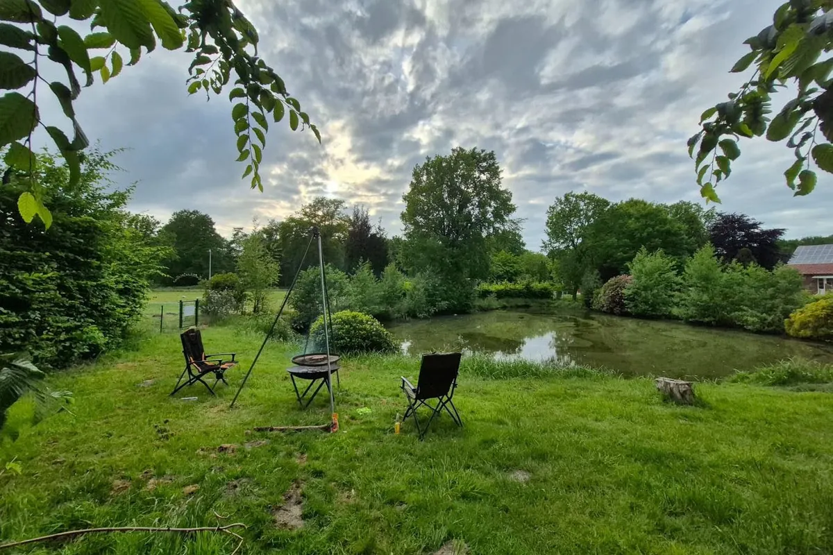
Rastede Bauernmuseum
Rastede Bauernmuseum is a campsite in the Nedersaksen region (Germany). Camping is possible with a motorhome.
- Wheelchair accessible
About Rastede Bauernmuseum
GEOAt Rastede Bauernmuseum you'll find wheelchair-accessible facilities, among others.
Nearby attractions include Bad Zwischenahn, a short distance from the campsite.
Amenities
- ✓Wheelchair accessible
Accommodation & pitches
Motorhome pitch
Is this your campsite? Claim your campsite here.
Location & getting there
See the campsite's exact location on the map.
Attractions nearby
| Bad Zwischenahn | 13.7 km |
| Valentin submarine pens | 21.7 km |
Amenities nearby
≤5 kmAmenities within ~5 km, straight-line.
Reviews
No ratings available yet.
Weather & climate
Frequently asked questions
FAQWhere is Rastede Bauernmuseum located?+
Rastede Bauernmuseum is located in Nedersaksen (Germany). You can see the exact location on the map on this page.
Does Rastede Bauernmuseum have a swimming pool?+
No, Rastede Bauernmuseum doesn't have its own pool.
Is Rastede Bauernmuseum suitable for children?+
No specific children's facilities are listed for Rastede Bauernmuseum. There's a playground 554 m away.
Are dogs allowed at Rastede Bauernmuseum?+
Dogs are not listed as allowed at Rastede Bauernmuseum; contact the campsite if unsure.
What facilities does Rastede Bauernmuseum have?+
Rastede Bauernmuseum offers wheelchair access, among others. See the full list in the amenities block on this page.